• - Our Solutions -
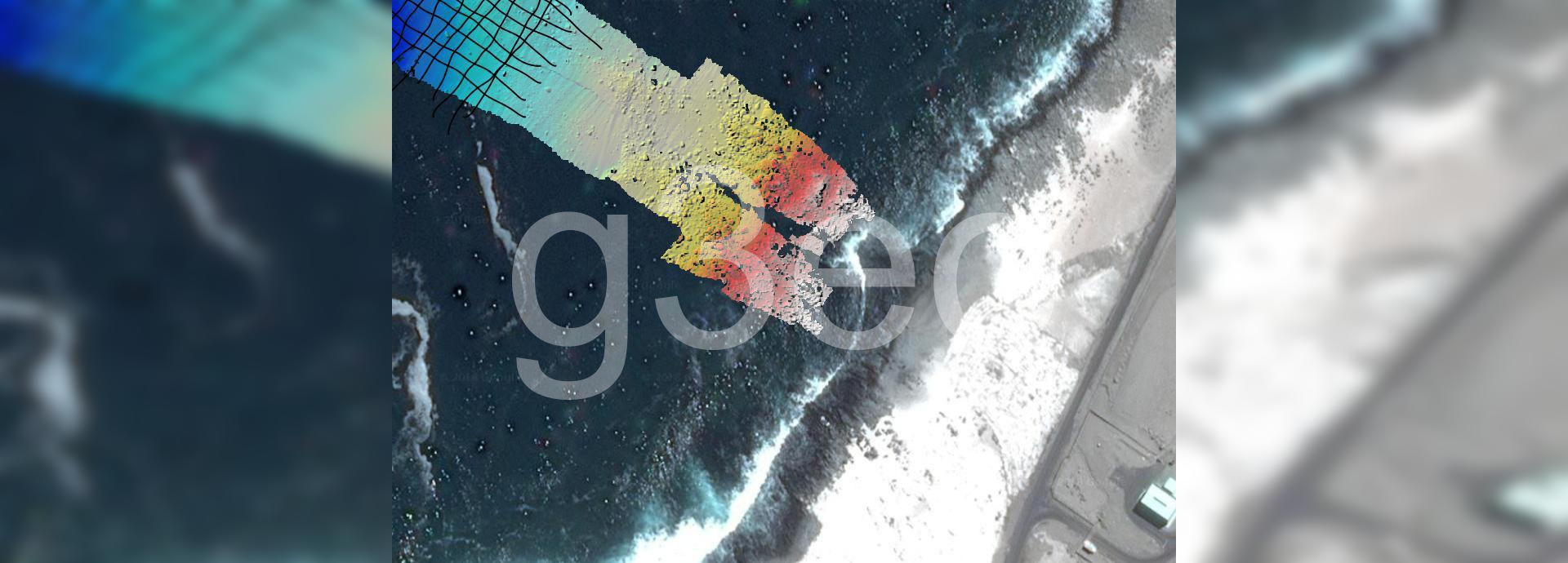
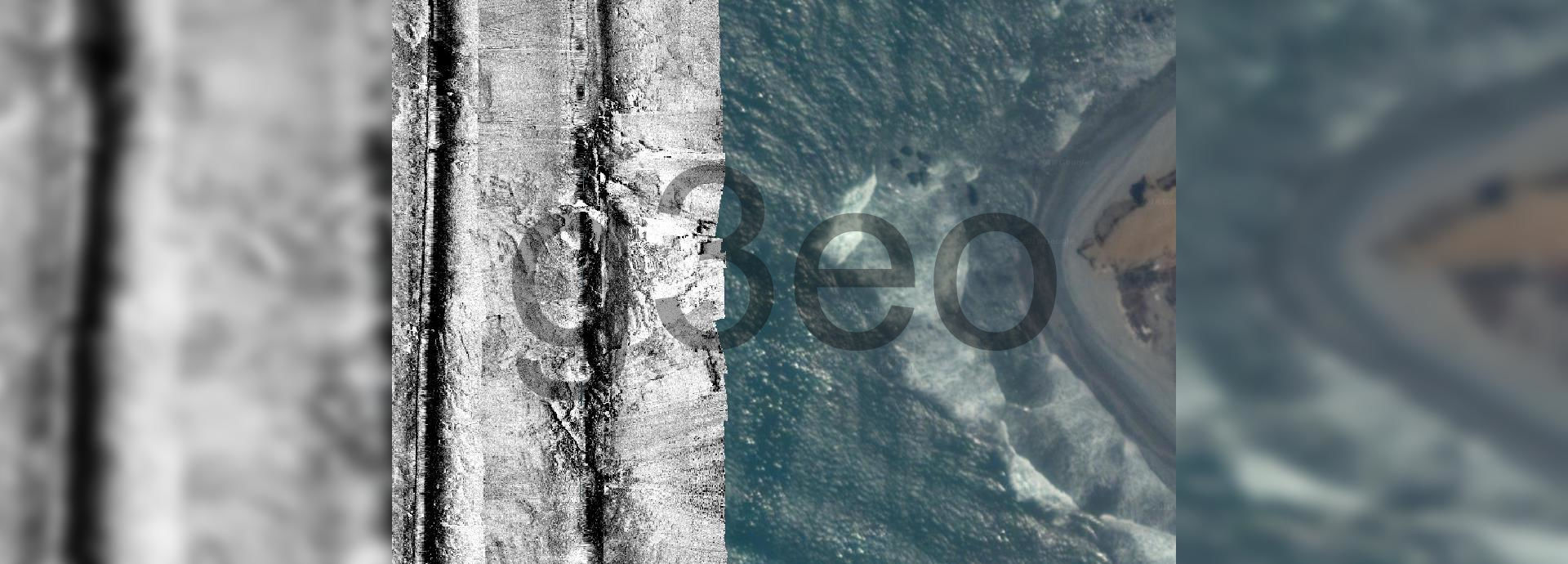
  • Seafloor mapping and cartography
  • Hydrocarbon seep hunting
  • Oceanography and environment
  • - Our solutions are used for -
  • Bathymetric projects
  • Mapping of hydrocarbon seeps
  • Sediment cubication
  • Installation of subsea cables (Site/Route)
  • Construction of underwater outfalls
  • Feasibility of ports and bridges
  • Management of marine-coastal zone
  • Aquaculture zoning
  • Offshore wind farms
  • Underwater archaeology
  • Maritime search and rescue (SAR)
  • Generation of navigation charts
  • Underwater obstacle detection
  • Mineral resources exploration
  • Submarine geohazards
  • Environmental impact assessment (EIA)
  • Seabed sediment transport studies
  • Coastal geomorphology studies
  • Tidal and wave studies
  • Marine circulation studies

[1] High-resolution bathymetric survey in a nearshore area for underwater outfalls purposes. Rocky outcrops are imaged in the surf zone. Water depth 3 m - 30 m.

example 1

[2] High-resolution bathymetric survey in a nearshore area for sediment dredging purposes. Water depth 1 m - 14 m.

example 2

[3] High-resolution bathymetric survey in a lacustrine area for seafloor reconnaissance purposes. Water depth 3 m - 20 m.

example 3

[4] High-resolution bathymetric survey in a coastal area to find submeged tanks. Water depth 1 m - 20 m.

ejemplo 4

[5] High-resolution sidescan sonar survey in a nearshore area to locate rocky outcrops. Rocky outcrops are surrounded by patches of sand waves. Water depth 5 m - 15 m.

ejemplo 5

[6] High-resolution sidescan sonar survey in a nearshore area to locate rocky outcrops. Rocky outcrops and sand waves are imaged in the surf zone. Water depth 2 m - 25 m.

example 6

[7] High-resolution sidescan sonar survey in a nearshore area to locate rocky outcrops. No rocky outcrops were found in the surf zone, fine-to-coarse grained sediments are interpreted instead. Water depth 4 m - 20 m.

example 7

[8] High-resolution sidescan sonar survey in a nearshore area to locate rocky outcrops. Rocky outcrops are surrounded by sandy sediments in the surf zone. Water depth 8 m - 20 m.

example 8

[9] High-resolution sidescan sonar survey in a nearshore area to locate rocky outcrops. Two patterns are observed in the surf zone: (1) Rocks crop out at the seafloor and cover a large portion of the surveyed area, (2) Sandy sediments cover the rest of it. Water depth 9 m - 15 m.

example 9

[10] High-resolution seismic reflection survey in a coastal area to quantify the thickness of surficial unconsolidated sediments. Comparison between: [a] Raw data, [b] Processed data. 2D profiles run parallel to each other (150 m separation distance) which allows to create a pseudo 3D cube (see Example [11]). Water depth 13 m - 18 m.

[11] High-resolution seismic reflection in a coastal area (see Example [10]). [a] Sediment thickness varies between 15 m - 18 m in shallower water depths, and up to 35 m in deeper waters, [b] Extraction of seismic slices in the deeper zone to examine the lateral continuity of a possible rock level at 35 m beneath the seafloor. Water depth 13 m - 18 m.

[12] High-resolution seismic reflection survey in a nearshore area to quantify the thickness of surficial unconsolidated sediments. Two patterns are observed in processed data: (1) In shallower water depths (close to the surf zone), coarse-grained sediments (3 m - 4 m thickness) show no laminations, (2) In deeper waters, fine-grained sediments (6 m - 8 m thickness) show laminations. Water depth 3 m - 25 m.

[13] High-resolution seismic reflection survey in a nearshore area to quantify the thickness of surficial unconsolidated sediments. Processed data reveal a surficial cover of coarse-grained sediments (sands to gravels) with a thickness of 1 m - 2 m in the middle of a channel, and a thickness of 3 m - 5 m in shallower waters. Water depth 20 m - 35 m.

[14] High-resolution seismic reflection survey in a nearshore area to quantify the thickness of surficial unconsolidated sediments. Processed data reveal a surficial cover of coarse-grained sediments (sands to gravels) with a thickness of 5 m - 8 m in shallower water depths, and a thickness of 4 m - 5 m in deeper waters where two sediment packages can be distinguished. Water depth 8 m - 22 m.

[15] High-resolution seismic reflection survey in a nearshore area to quantify the thickness of surficial unconsolidated sediments. In both shallower and deeper water depths, processed data show a surficial cover composed of corser-grained sediments (sands to gravels), a thickness of 2 m - 10 m, and a volume of 90 000 m3. Water depth 18 m - 28 m.