• - Our Solutions -
  • Seafloor mapping and cartography
  • Hydrocarbon seep hunting
  • Oceanography and environment
  • - Our solutions are used for -
  • Bathymetric projects
  • Mapping of hydrocarbon seeps
  • Sediment cubication
  • Installation of subsea cables (Site/Route)
  • Construction of underwater outfalls
  • Feasibility of ports and bridges
  • Management of marine-coastal zone
  • Aquaculture zoning
  • Offshore wind farms
  • Underwater archaeology
  • Maritime search and rescue (SAR)
  • Generation of navigation charts
  • Underwater obstacle detection
  • Mineral resources exploration
  • Submarine geohazards
  • Environmental impact assessment (EIA)
  • Seabed sediment transport studies
  • Coastal geomorphology studies
  • Tidal and wave studies
  • Marine circulation studies
bathymetry

Bathymetry

represents the submarine relief. We specialize in singlebeam and multibeam (known as 3D bathymetry) acquisition, processing and interpretation work.

seismic

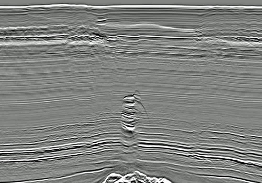
Seismic reflection

characterizes the subsurface geometry. We specialize in singlechannel and multichannel seismic acquisition, processing and interpretation work (such as chirp, boomer, sparker, airgun).

sidescan

Sidescan sonar

images seafloor textures and man-made objects. We specialize in single-frequency and multi-frequency sidescan sonar acquisition, processing and interpretation work.

magnetometry

Magnetometry

differentiates seafloor strata and man-made objects based on their magnetic properties. We specialize in single-sensor and multi-sensor magnetometry acquisition, processing and interpretation work.

sediment sampling

Sediment sampling

is used to recover unconsolidated sediments in coastal marine areas, rives, lakes and lacustrine settings. We specialize in sampling systems such as dredges, piston corers, power shovels, augers, penetrometers.

sediment analyses

Sediment analyses

are used to determine physico-chemical conditions from substrata in natural and man-made habitats. We specialize in laboratory work such as granulometry, mineralogy, organic matter, fauna characterization.

geodatabase

Geodatabase design

is used to store, handle, evaluate, and retrieve geodata efficiently for summary reports and geospatial investigations. We specialize in the design and management of geodatabases.

geodata

Geodata analyses

solve spatial queries through the association of data types and attributes. We specialize in the development and implementation of algorithms to predict environmental conditions.

adcp ctd

ADCP-CTD

measure the physico-chemical properties of the water column. We specialize in CTD systems (such as rosette wheels), ADCP systems (such as anchored, towed by ships) and Niskin bottles.